
Fall Pattern Change, El Nino, Chia Pet Puppy Growing & First Snow Flakes
Related Articles
Peeps,
The Fall change is a coming and this week will feel nice until Thursday when the first cold front moves through. Why is this happening you ask? Good question. It is occurring due to the what is going on in the Pacific Ocean thousands of miles away. We have what is called an Negative EPO over the Alaska area and huge Positive PNA from California all the way up into Canada. These are atmospheric mechanisms that control our weather, aliens if you ask me (sorry if you are from Cali). Here is the map that shows this:
The three circles show the bursts of cold air that will be coming our way.


Temps next weekend for lows:

Due tho this we will be cooler than normal from around Thursday until Tuesday and beyond with reinforcing shots of cold unseasonable air working its way from high up North. If this were winter the temps would be teens during the day and zero to below zero at night! This may be a pattern we see come January and February. There is a belief that the pattern that sets up during the fall is one we will see in the winter. Temps being in the upper 50’s and lows in the 30’s.
We will see our first frost of the season and freeze for our area NNJ come the end of this week. The coastal plain and NYC may see a frost next week due to the influence of the warm waters of the Atlantic and the heat engine of the city that never sleeps.
First snow flakes could be falling as early as …………………Tuesday 10-20 next Week – remember I said in my Oct 3 post that I see possibly around the 19th – well lets look and see:
EURO says a big HI!!!!! The 0 and 540 blue lines are the rain and snow lines in the atmosphere.

So get the furnace fired up, get that wood burning stove and fireplace flue cleaned and prepped and don’t forget the firewood!!!
El Nino Update
To all those hoping for a break from the last two winters and wish for a warm winter or snow less after last winter guess what????
IT AIN”T HAPPENING!! HAHAHAHAHAHAHA- go to Ga or Fla – you live in the Northeast above 40* latitude so DEAL with it and get ready.
Mr. Nino is going to be what is called a basin wide event. From the international dateline to the coast of South America and up to the West coast of Southern California, the Pacific is a bathtub. The good news is 4 out of 5 models are projecting a back loaded winter – meaning December will be normal to maybe slightly above at this time and then we change into a colder and snowier pattern. The storms may not be as frequent but will be larger in scope. This is a POSSIBILITY at this time and things can change but as we move forward in time things are looking better and better.

What is going to happen with this set up is the warm water off of the Aleutian Islands will cause a cross polar flow of air from Siberia and down through Canada heading to the east coast. the warm waters of the Pacific at the equate – hence El Nino – will pump the moisture up for white gold – we need some help in the form of blocking on the Atlantic side and we could have a bang bang winter.
The Snow growth is making a great recovery in the Arctic Region and is projected to grow by leaps and bounds until the end of the month – this is where our cold air for the most precious form of precipitation will come from – white gold that is SNOW!! (Can you tell I love snow but more so when I get a recorded phone call from Joe O – don’t lie when you were in school you loved that call and those of you still in school love it just as much!)


Now the forecast for Siberia

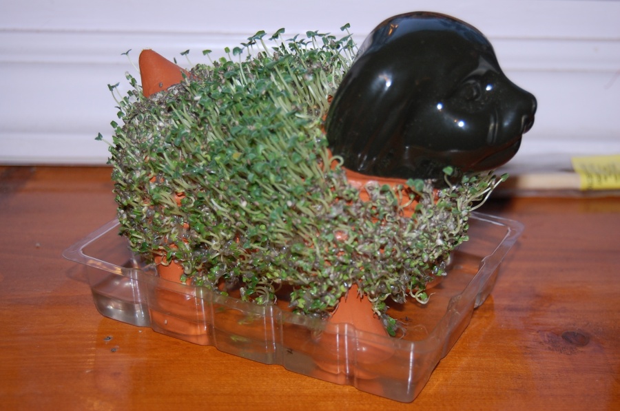
Now for my Chia Pet Puppy Rocky: Look at him grow – hence the parallel to the snow growth to above areas of Canada, Alaska and Siberia
Here is good winter prediction read – right in line from what I have been saying and thinking:
http://www.ilsnow.com/2015/10/07/winter-2015-16-outlook/
Lastly,
We have to watch the tropics this late in season for the shearing winds die down and the waters are still primed, juiced to spawn a tropical system/cyclone. There is a chance another tropical storm forms over the next 10 days in this region and I hate to say it but with this set up we have to be on alert again. It would be a hybrid system if it gets this far north, the euro is hinting at this and its track record for such storm is incredible – we shall see.
I Will keep you updated.
In the meantime enjoy the next few days and get the heat ready and sweaters, long sleeve attire etc.
AL Q

P3phN9 http://www.FyLitCl7Pf7kjQdDUOLQOuaxTXbj5iNG.com