
Ian causing lots to go fleein!!
Related Articles
Peeps,
This bad boy means business and it isn’t until the day before that people will say oh SH_T its gonna be bad. There are some that are hunkering down, I hope it’s not their last time for such. He looks to make landfall around Punta Gorda – almost EXACTLY where 2004 CAT 3 Hurricane Charlie made landfall. Who said history doesn’t repeat itself?? Oh and it’s not from CC, please save that nonsense, it’s called weather. Pray for those down in this region. NOW it looks to make a second landfall in South Carolina in the Charleston region or just south in the Savannah area.
FLEEING!!
…BREAKING…
Video of I-4 COMING OUT OF #TAMPA JAMMED WITH CARS HEADING EAST via FLDOT 10PM AT NIGHT! pic.twitter.com/wd6L0lc6zZ— Mike Masco (@MikeMasco) September 27, 2022
Emergency Shoulder Use (ESU) in effect along EB I-4 in Hillsborough & Polk Counties. Please operate with caution. #HurricaneIan @FLHSMV pic.twitter.com/aCdIi5dNFd
— FHP Tampa (@FHPTampa) September 27, 2022
Rains you ask? how about 20-35″!!!! IMAGINE IF THIS WAS SNOW???

Winds – CAT 4 are 130-150 Sustained that means 60 seconds and longer
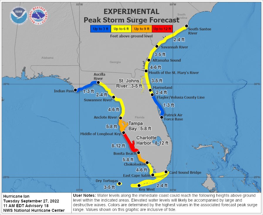
Storm Surge – 8 -12′ plus
This is all for the area around landfall. WInds are less as you move away and so is the surge.
Euro model has been locked in for almost 8 days now with this track.
May we see remnants up here? SUnday night into Monday possibly – some winds but mostly rains, more South than North peeps.
Great explanation on this topic.
As many others have discussed, certainly seems like #Ian is in the middle of an eyewall replacement cycle (#ERC).
Formation 1st evident on radar & @NOAA_HurrHunter NW-to-SE leg confirmed double-wind maxima structure. Will likely lead to further broadening radius of maximum wind. pic.twitter.com/wG9m5CAfa1
— Philippe Papin (@pppapin) September 27, 2022
The latest landfall from NHC

Goode model agreement on landfall

Absolute beast before landfall

Storm surge – MOMMA MIA!!
his is going to destroy the islands off the coast near landfall hate to say.
Let’s pray for our brothers and sisters and their properties.
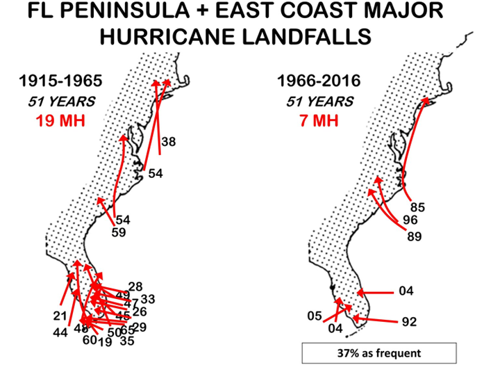
Here why it’s not CC
