PV Gone, Snow stayed south, Vermin Forecasts,Warm Up, MJO coming back
Related Articles
Peeps,
PV is now officially gone and wow it broke 160 record low and high temperature across the Midwest to Northeast – one of the strongest cold snaps to hit the USA since January of 1994.
Snow stayed south in Southern NJ Friday with cape May recording 3″ of white gold and it overachieved in a big way from the coating to 1″ forecasts down there.
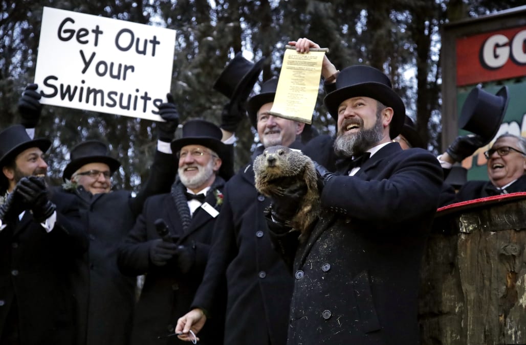
Vermin Forecasts – little bugger should have stayed asleep!! He is right about 78% of the time.
Warm Up
Temps will feel like spring and peeps will be duped by this pattern this week for winter will somehow come back – for how long who knows but this is the snap back to the cold last week.


MJO coming back = cold and snowy possibilities? Follow the lime green line on these charts that indicate the mean/avg of the plots to tell you how this wave is moving
Phase 8 on the MJO plot charts indicate for us a colder and snowier pattern starting next weekend. Time will tell with this winter but this would do this like last March – remember that crazy month!
.gif.7c88fcff629497202032dbe4ac9a0836.gif?w=900&ssl=1)
If it runs the table through phases 8 to 3 then winter will last to Mid March in a pretty big way.

Lots of Activity Volcano wise due to low solar activity

Enjoy the warm weather this week it will feel like summer after last week and I’ll provide an update later this week if we are to see winter return or Phil (the Groundhog) be right.
Maps are compliments of USA and 33&Rain wx boards.
AL Q


