
Update
Peeps,
What a rollercoaster this storm has been these past few days. We went from 6-8″ on models to 2-3″ to 4-6″. The storm went from a consolidated beast 3 days ago to a sheared out mess due to a low pressure storm that just decided to pay the Great Lakes a visit and screw up our storm. As you can see tehre are so many moving parts to a snowstorm unlike rain. This Low pressure squelches our cold air reinforcements as well as weakened our storm – 2 parts modles did not see until 2 days ago at best and waffled with it until last night. Surprise, nature always has a few!!
Here is the latest:
Time Frame: Moved up to Saturday afternoon 2-3PM with a break overnight with lighter precip possibly then wrap around snows as the storm deepends and pulls away Sunday morning through later afternoon if the wrap around is real.
(Saturday night late through Sunday night/ Early AM Monday-OLD)
Snow amounts: from a few inches to over a foot for NNJ
Rain Snow line look to be from Driscoll Bridge N and moves North by Saturday night settling aroung Union county and then recedes into SNJ Sunday morning.
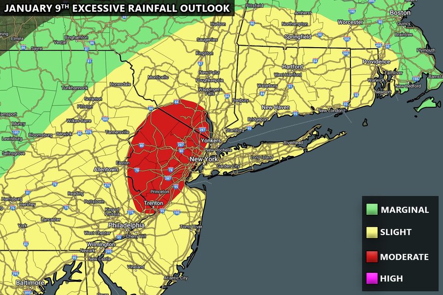
Some Maps for your viewing pleasure but not etched in stone!!!

Money Shot – darker blues are overnight and that is heavy snowfall,

And middle of the week storm is a tptal washout – flooding risk galore….again – no school for flooding – hopefully the’ll be on this one unlike last one Dec 18th!
Update in the morningish hours to early afternoon after I get my …..brean, eggs n milk LOL!!!
Al Q
