
Which Way Jose?? Maria and Lee, First Snow Map LOL!
Related Articles
- Mr. FROSTY!!,CARLIN and Dr. Erickson Video – MUST WATCH, MR. SUN, SNOW, TRIO NOR, Pattern says Spring NO WAY!!, Al Q”stradamus’s Call
- MARCH is going to ROARRRRRRRRRRRR!!! WINTER STORM SUNDAY NIGHT INTO MONDAY MORNING! POSSIBLY TUES. NIGHT INTO WED. AND THURSDAY 0
- Tropics, Italia, Laverne and Shirley?,Preliminary Winter Discussion
Peeps,
WHICH WAY JOSE???
EAST, WEST??
A headache for his track!
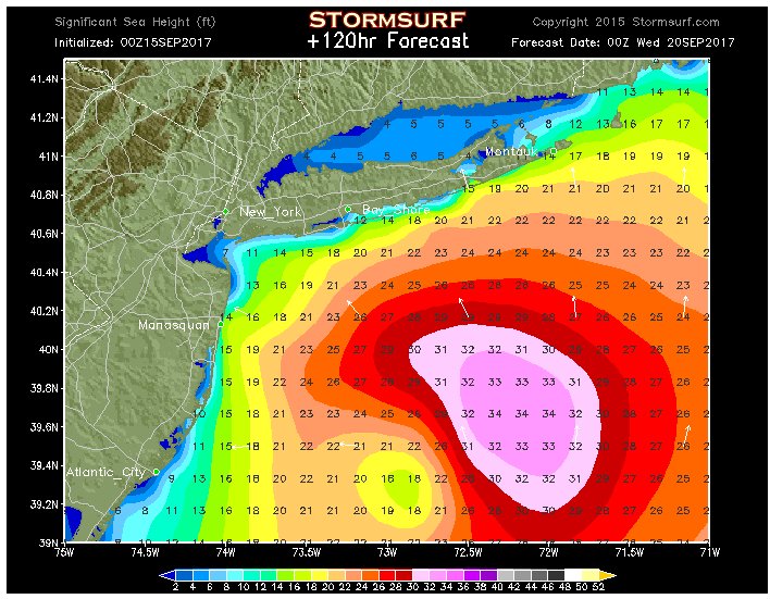
The hcane hunters are flying into Jose as we speak to get new fresh on the level data so we can start to figure out his track better. Models have been all over the place – some east, some west, and some in between. I am going to say this and you may say give me a break BUT anywhere from the Jersey Shore to Cape Cod needs to be ready. If he takes a westerly track of the projections it puts him basically just off the Jersey Shore and pounds them and the entire state, all the way into Eastern Pa. LI would take a direct hit and that would not be a good scenario. If he goes middle ground the Jersey shore through LI and Southern Connecticut gets its good but not as bad as if he hugs the coast. If he goes east they will feel effects with some winds, high surf and minimal beach erosion. The next 36 hours will tell. Here are possible tracks. TV mets are banking on him going east and OTS but I am not buying that solution yet. We have to see how this blocking high pressure to our North Develops, if it is stronger than modeled or as some models have it pushed Jose more west. I don’t see landfall at this time but the west track would still be bad. Also, a new moon on Sept 20 Wed this will add some height to the tides.
MAL!!! WEST

The ECMWF is a high wind severe coastal flooding forecast –
SREFS – YIKES!!

EAST – NEW MAP FROM NHC – they moved the cone east

Tropical force winds probability – increased for our area since he will transition to an extra tropical storm this expanding his wind field area ala …………………..Sandy!!

SURF – HANG TEN JUDSON and JOCHS!!!!!!!!!
Lee and Maria – 2 new pups
“Don’t know but the tropics aren’t going away anytime soon and the long range gfs forecast at 300 hours brings Lee into the Bahamas and then up the coast to the Outer Banks.”
It is going to be a fight between these two of who hits the Leeward Islands again and causes havoc in the Caribbean. The GFS and EURO once again paint an ominous picture for a US landfall anywhere from Fla up to NYC. All I can say is that pray for these poor folks who were ravaged by Irma then got a whiplash from Jose can you see and now they may be dealing with these two.
This may upset the apple cart of some and get your undergarments twisted but global warming has nothing to do with this activity in the Atlantic or the strength of these storms as per by man but rather natural earth cycles. See if you and if the frickin’ news would show this; we have had many periods where we had such cycles. The 1930’s – early 1960’s saw many strong hurricanes make landfall on the USA. It was not until the early 1950’s the they started naming storms (1926 started in with the great Keys Hcane, 1932, 1935, 1938, 1941, 1951,1955, 1961 and into the early/mid 70’s as well – all of these years had major hcanes and some multiple. We have a cycle of less since then (mid/late 1970’s) and one main reason is the El Niño conditions of the Pacific and Solar Maximum (Irradiation).
MARIA

LEE???

So peeps, we may enter into this cycle again and with no westerly winds that come off the equatorial pacific due to the La Nina base state of this massive ocean we may have to deal with this for another few years until things calm dawn with winds, seas surface temperatures and angular momentum of earth as well as terrestrial (planetary) positions.
46 DAY Snow Map – YEAHHHHH!! Fall officially comes in Friday – equal sunlight and dark night!!
.png?w=900&ssl=1)
FROM ANDREW ON THE UASWX BOARD – BOOOMMMMMMM!!!
West Based NINA>>>>>>>>>>>>
 <<<<<<<<<<<<<East Based NINA
Moral of this is……………………..As long as ENSO regions 1+2 are cooler than 3 and 3+4, we will do fine!!
More to come.
Al Q
